
Drone Footage
Aerial footage changes the story by showing scale, sequence, geography, and progress in a way ground-level images sometimes cannot.
Drone Footage at a glance.
Drone work belongs here when motion and altitude genuinely add information instead of just spectacle.
Context from above
The best aerial frames make a place easier to understand.
- Landscape and location context
- Property and renovation progress
- Spatial logic that still images can miss
Motion with a job to do
Movement matters most when it helps reveal sequence, scale, or pattern.
- Travel and place-based edits
- Highlight reels grounded in real context
- Overviews that clarify what changed
Capture with judgment
Good drone footage is more than a pretty sweep. It needs control, safety, and a reason to exist.
- Frames chosen for pattern, not noise
- Compliance and safety awareness
- Footage that supports the story instead of replacing it
Selected aerial reels.
These short edits are the clearest examples of how I want original drone captures to function on the site: controlled, atmospheric, and useful for reading a place.
The goal is not constant motion. It is using height, movement, and sequence to reveal something ground-level images cannot always carry on their own.
Each reel below is short on purpose so the footage stays curated and the page stays readable, while the stills farther down show a little of the raw field material behind them.
Fog and shoreline
A quieter coastal reel that leans on atmosphere, sea stacks, and gentle motion instead of speed.
Golden hour property context
A warmer rural cut focused on land, layout, and the way late light changes how a place reads from above.
Twilight field study
A dusk reel where the fading light and slower movement do most of the work.
Raw field captures behind the edits.
I also pulled a few stills from the original exports so the page shows where the cleaner reels begin: one rural overview, one forest cloudline, and one quieter coastal pass.
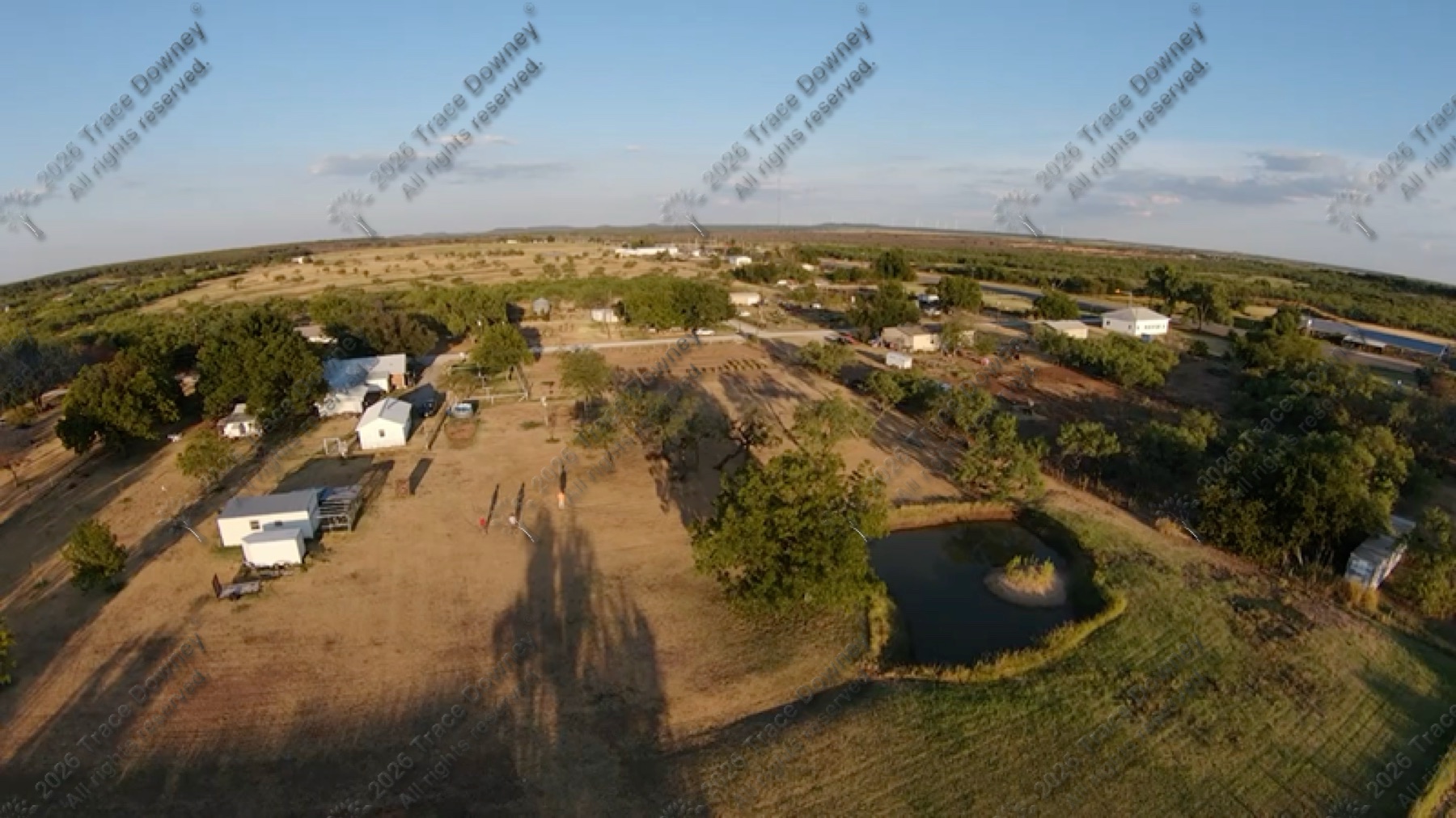
Rural overview
A wider establishing pass where the main value is understanding the property and its surroundings at a glance.
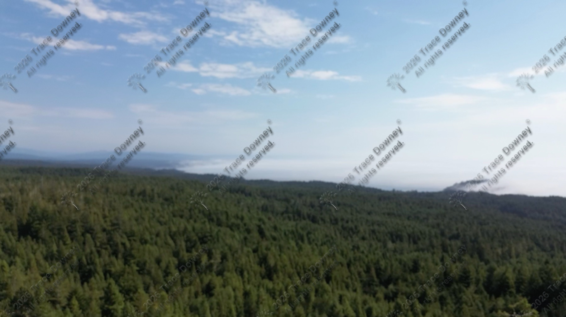
Forest cloudline
This is the kind of quieter atmospheric frame that later gets edited into a shorter, more legible reel.
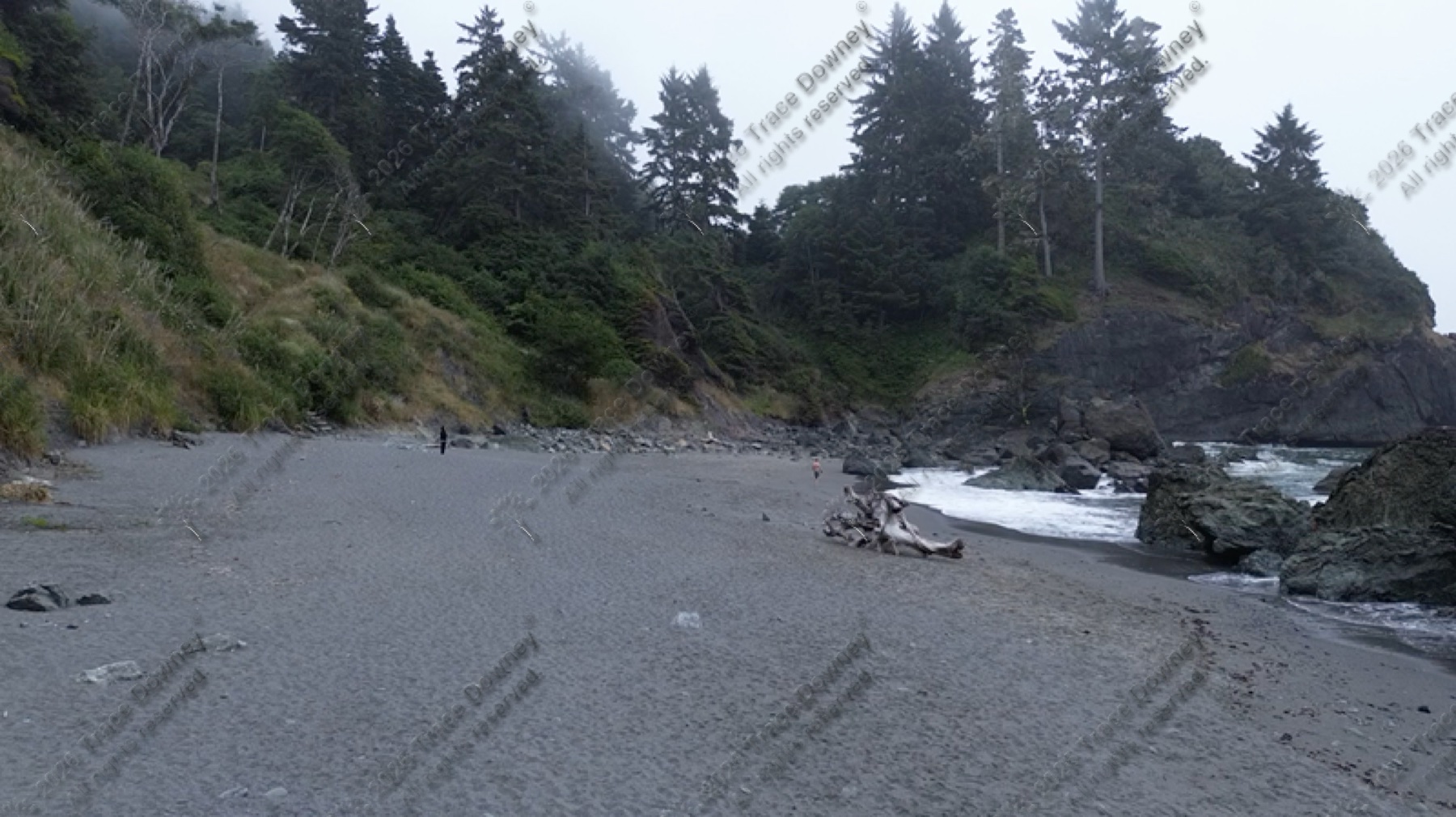
Coastal beach pass
A moodier shoreline frame where the geography, weather, and pacing all matter more than speed.
What makes a flight worth keeping.
- Frames that clarify geography instead of just showing altitude.
- Motion that gives the eye time to read the landscape.
- Weather and light that add atmosphere without muddying the subject.
From raw pass to shorter reel.
The finished clips above are still the cleaner public-facing work. The stills here make the page feel truer to the capture process behind them.
Drone footage belongs in the record when it adds real context.
If the right angle is the one from above, I want the footage to clarify the place, the scale, or the progression of the work instead of just decorating it.